What is lidar technology and how does it work?

This high-precision technology could change navigation forever — and the reason might surprise you.
Lidar, short for Light Detection and Ranging, is a high-precision remote sensing technology that's making waves in autonomous driving and location intelligence. It plays a crucial role in the development and operation of self-driving cars as well as in creating high-resolution mapping systems.
By providing precise representations of the environment, lidar helps us understand our surroundings better and paves the way for more sustainable and efficient mobility solutions.
But how exactly does lidar work?
Lidar operates on a simple principle. It measures the time it takes for a burst of light (usually infrared, ultraviolet or visible) to travel to an object, reflect off it and return to the sensor. By multiplying the time by the speed of light, it calculates the distance between the sensor and the object.
This process is repeated millions of times per second to form a precise 3D point cloud that represents the surrounding environment of an object or vehicle.
In simpler terms, imagine you are in a dark room trying to find your way around. You have a flashlight that you can shine around the room. When the light hits an object, it bounces back to you, allowing you to estimate where things are and how far away they are.
That's essentially how lidar works, but instead of a flashlight, it uses laser light pulses and instead of your perception, it uses high-speed sensors and computing power.

Read more — Debate worth having: can AI-powered robotaxis be the first truly autonomous vehicles?
Second line
Using lidar in location
Thanks to its extreme accuracy, lidar technology applies to many different use cases and industries. For instance, its ability to capture high-precision, three-dimensional data about the physical world makes it a powerful tool for location technology where creating precise maps is essential.
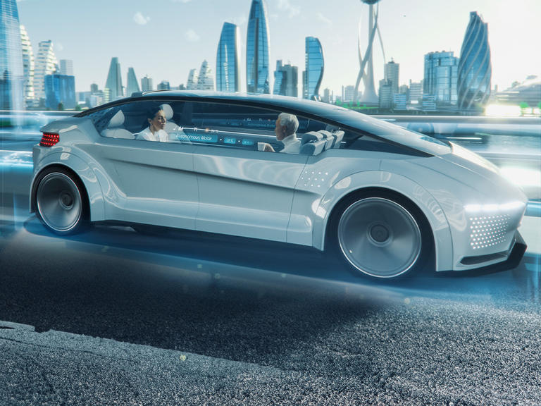
Another industry that uses lidar is automotive. Self-driving cars use lidar sensors to create real-time 3D maps of their surroundings. This enables the vehicles to identify objects, recognize pedestrians and detect other motorized traffic members. By knowing exactly what’s around them at all times, vehicles equipped with lidar can navigate their journeys safely and efficiently.
Lidar is also used to create highly accurate maps, such as HERE HD Live Map, which uses lidar-generated data for a detailed and dynamic representation of the road. And it goes beyond that. When used for monitoring changes in structures, such as bridges or buildings over time, lidar helps ensure their safety and integrity which is a crucial aspect of the construction industry.

A surge of sustainability
By facilitating automated driving and smart city planning, lidar technology contributes significantly to sustainability. Autonomous vehicles enhanced by lidar can optimize routes and reduce congestion, leading to lower carbon emissions. Similarly, lidar-based maps can help plan sustainable urban infrastructure.
In short, lidar is not just a technological innovation — it's a vital tool that's driving the future of self-driving vehicles and location-based services. With its ability to capture the world in three dimensions, lidar technology is transforming the way we understand and interact with our environment. And as we move toward an autonomous future, the importance of lidar will only continue to grow.
Have your say
Sign up for our newsletter
Why sign up:
- Latest offers and discounts
- Tailored content delivered weekly
- Exclusive events
- One click to unsubscribe


